/
/
Aerial Integration

Vision technology:

Aerial Integration

The technology:

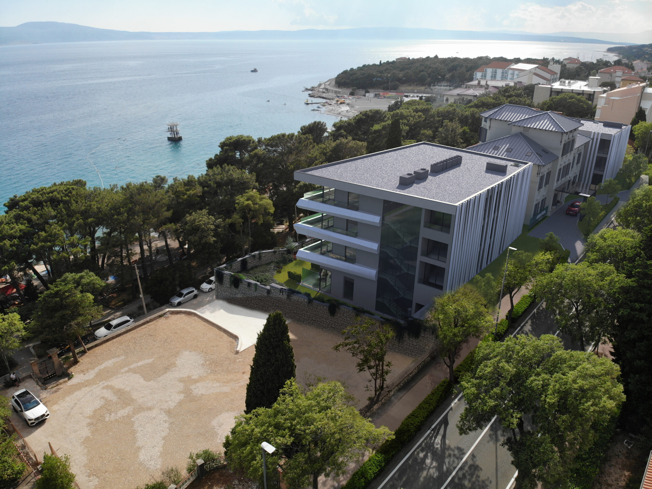
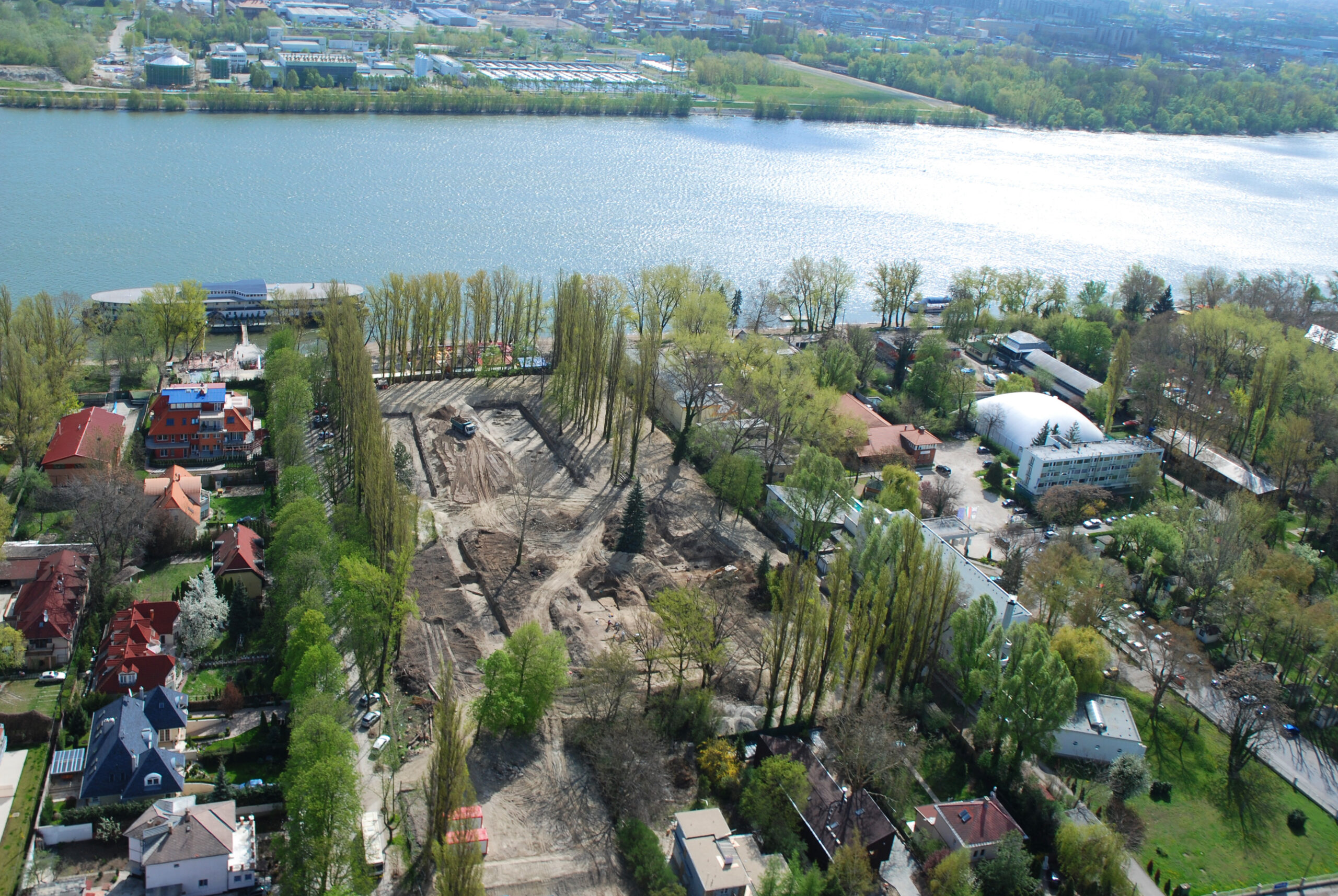
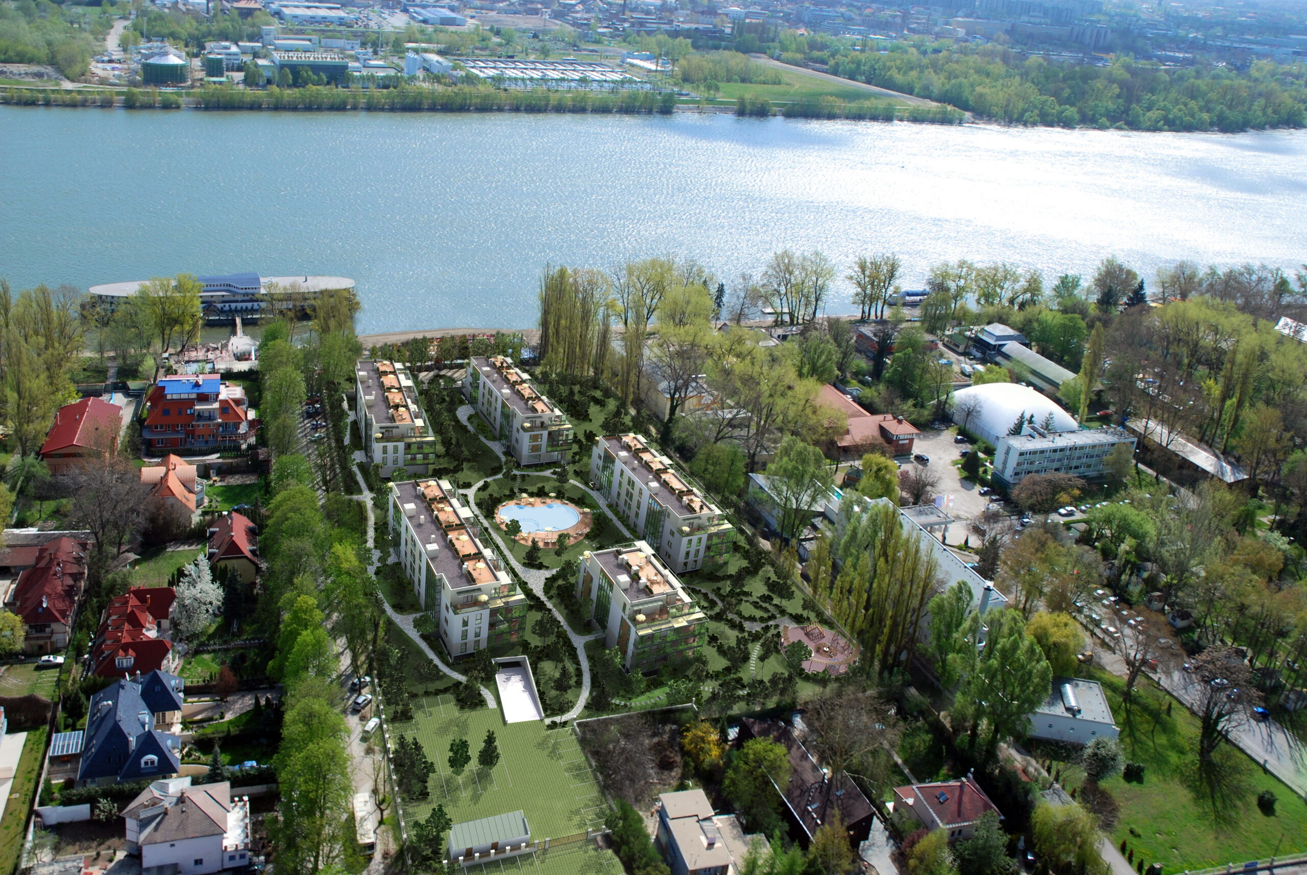
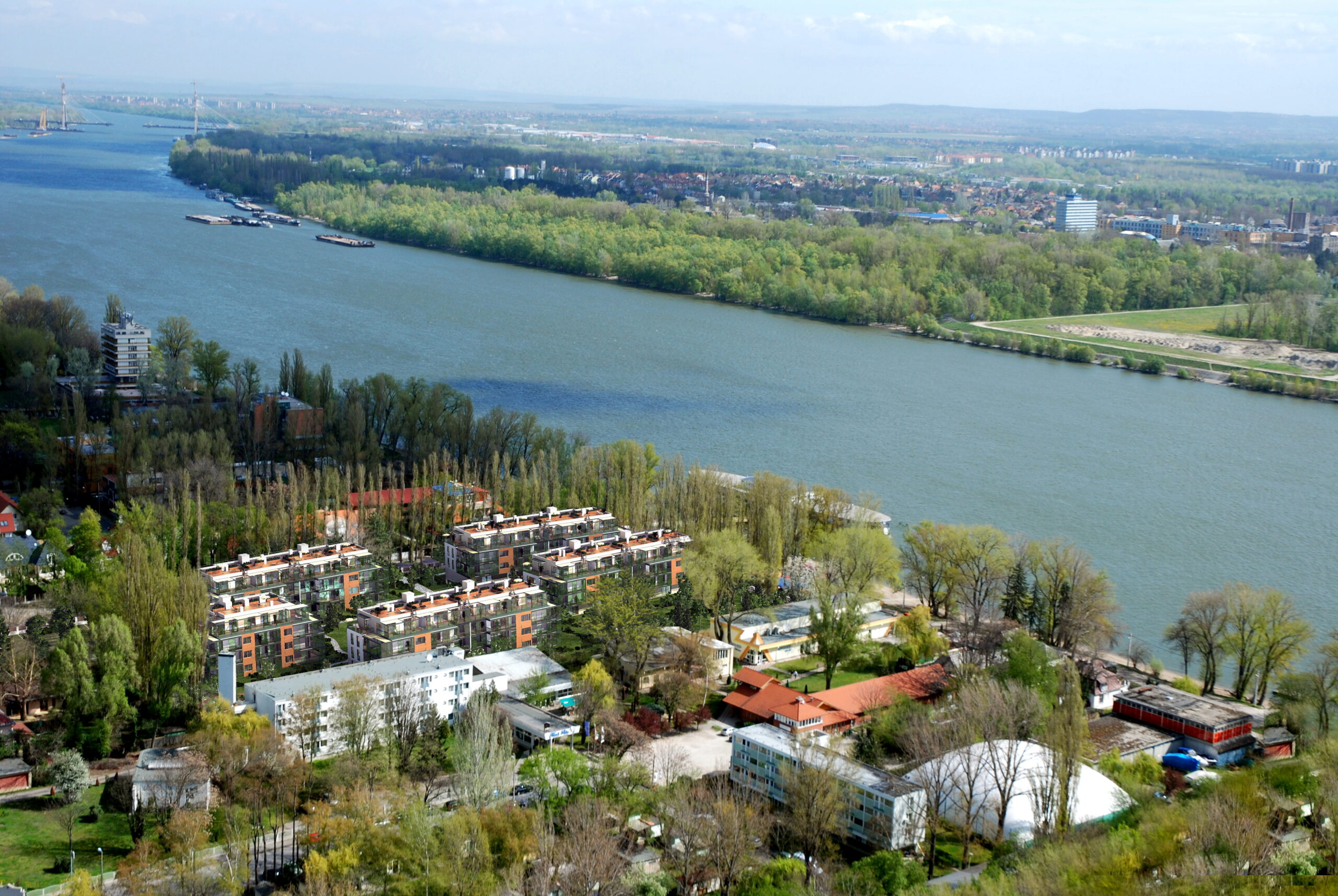
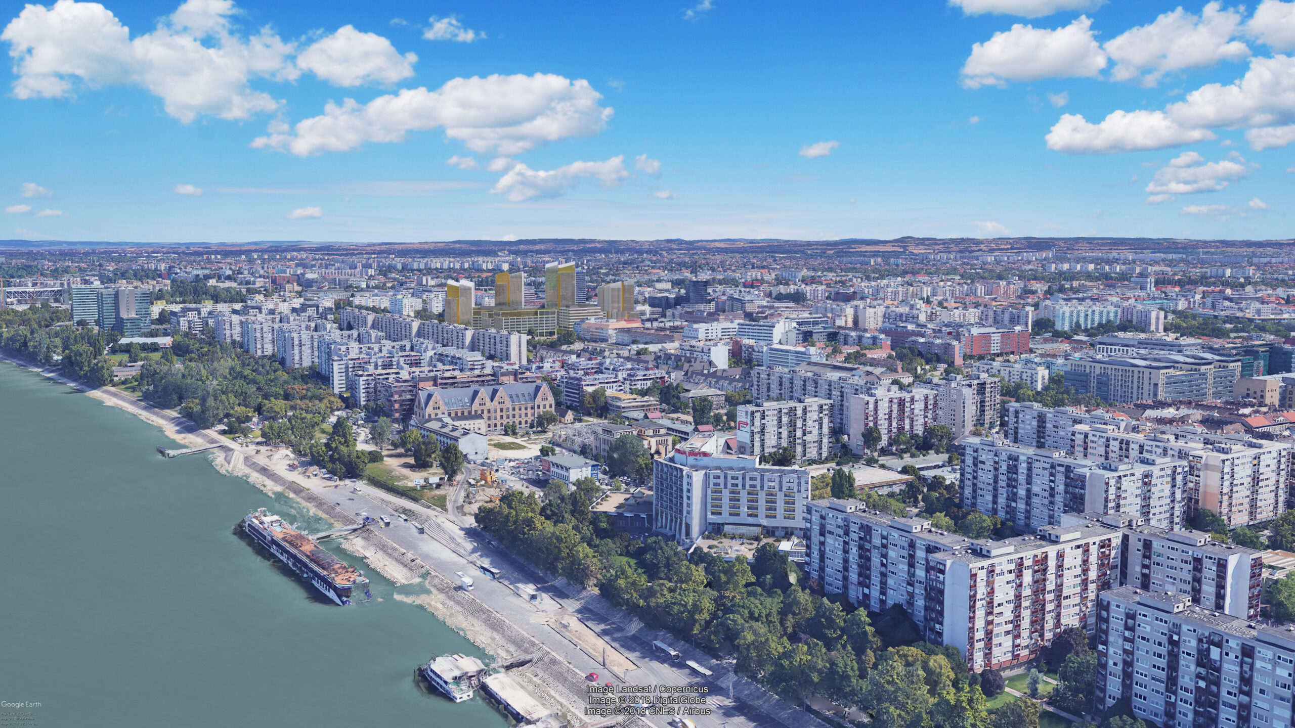
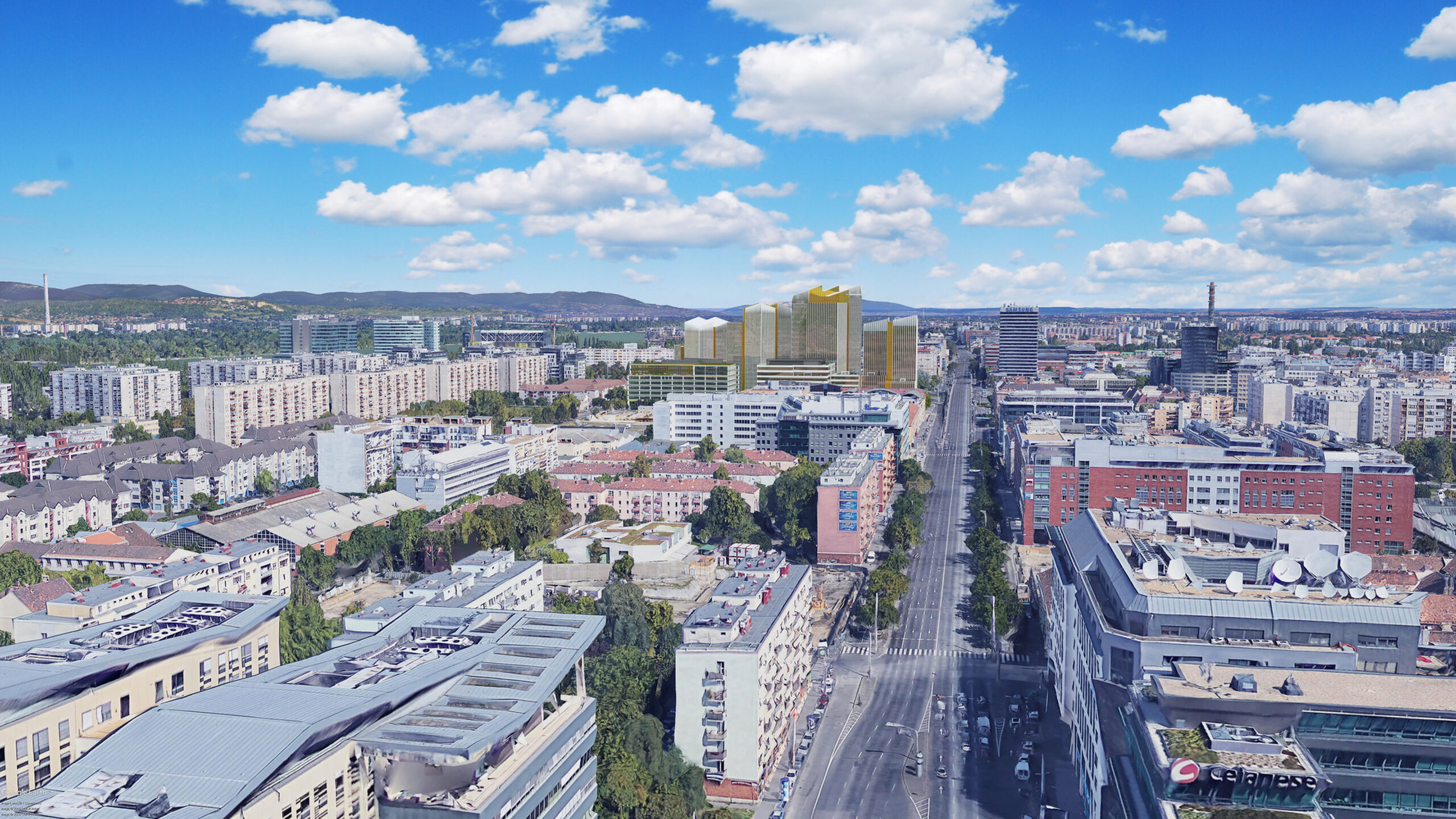
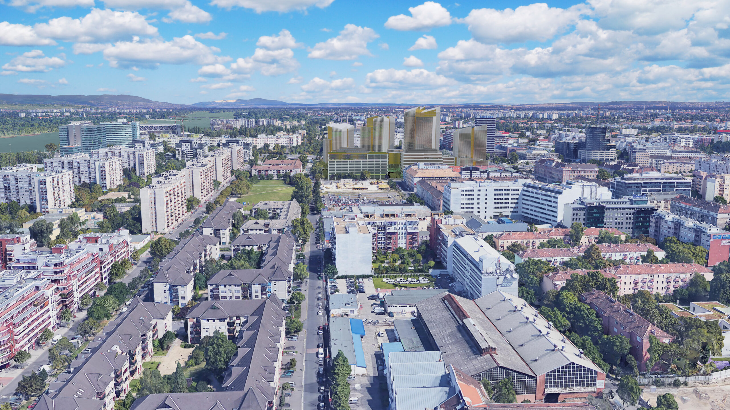
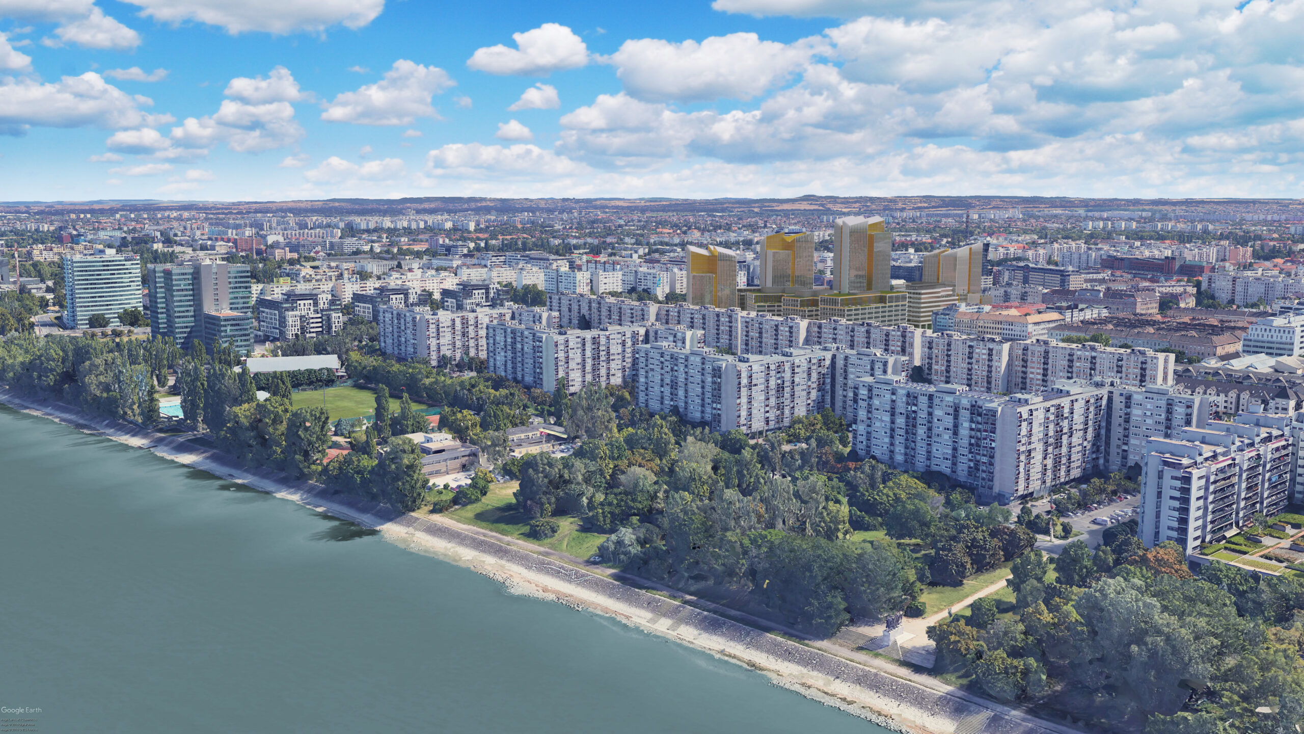
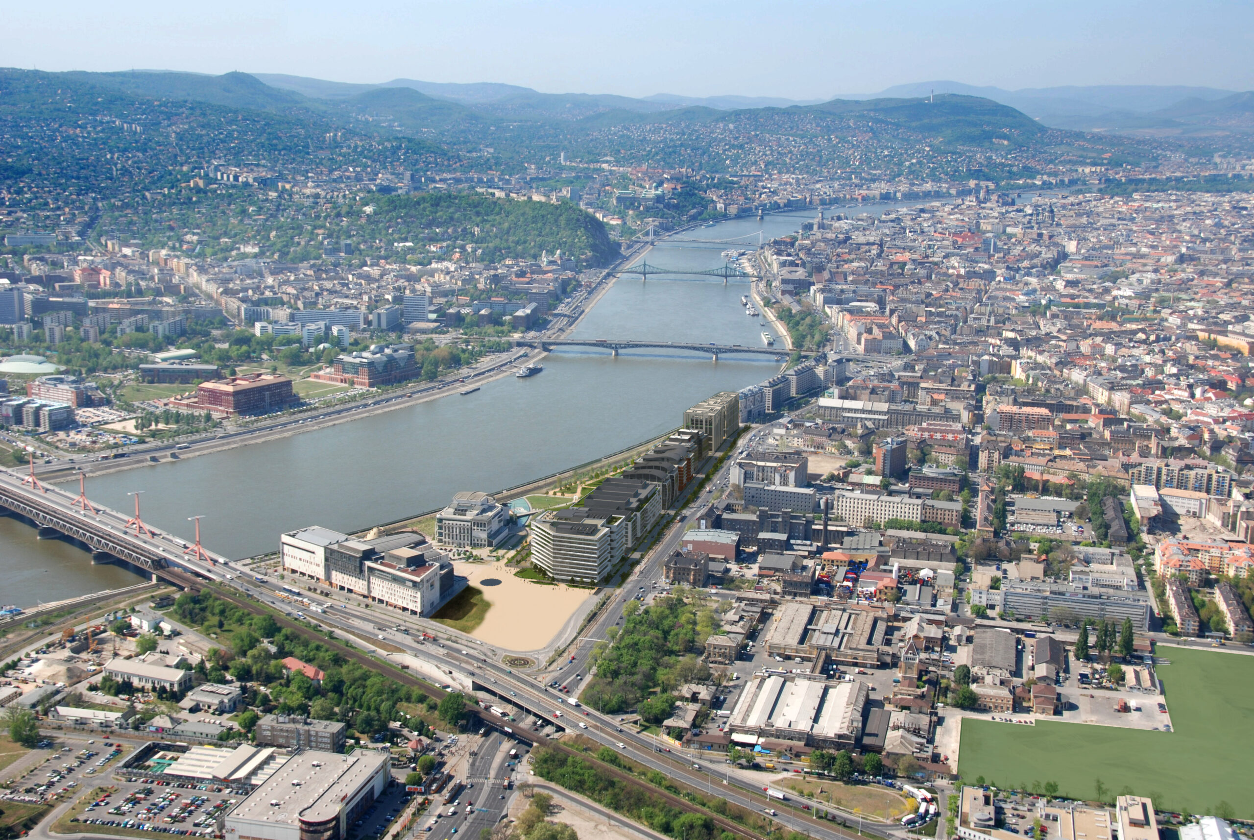
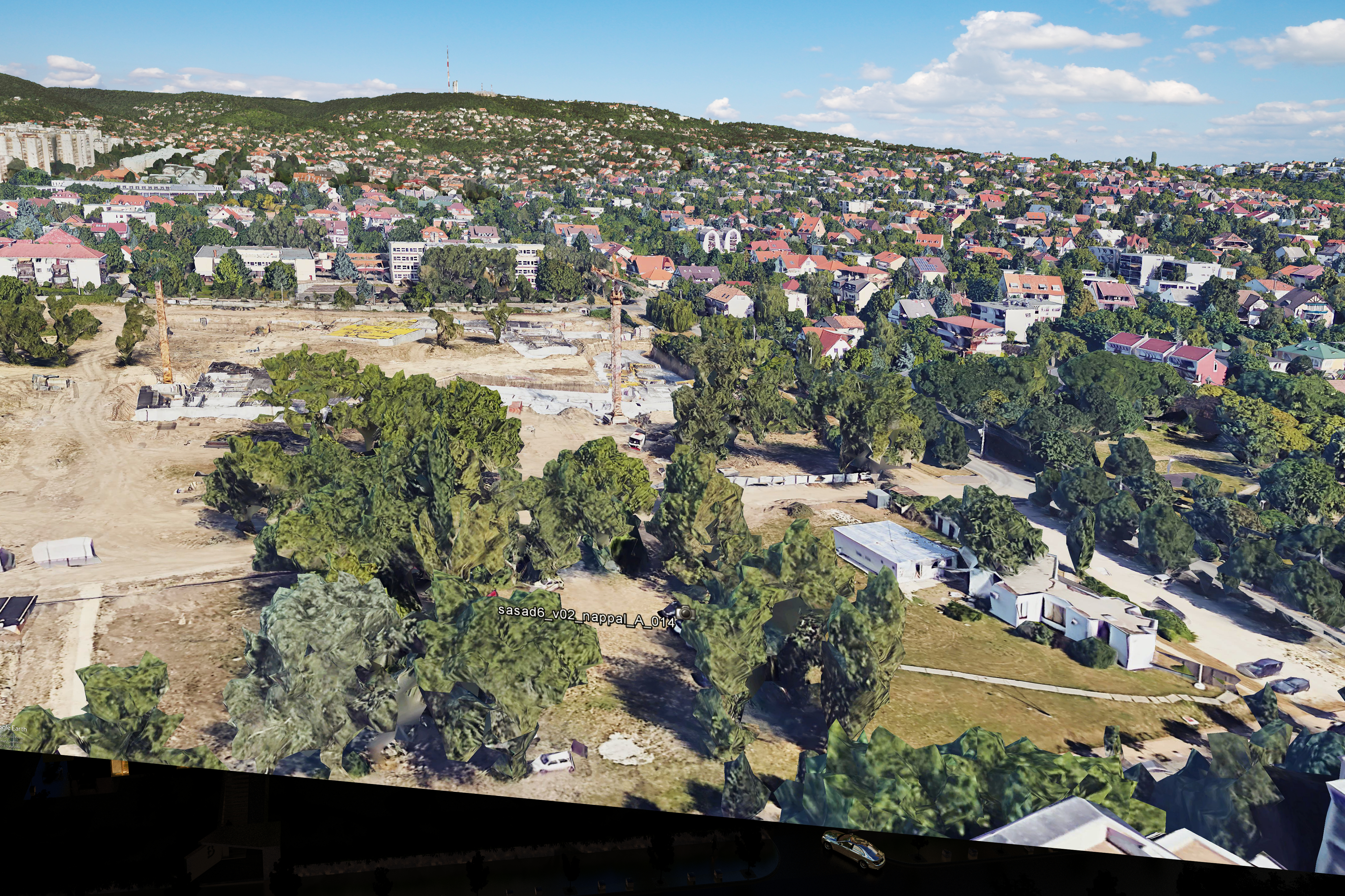
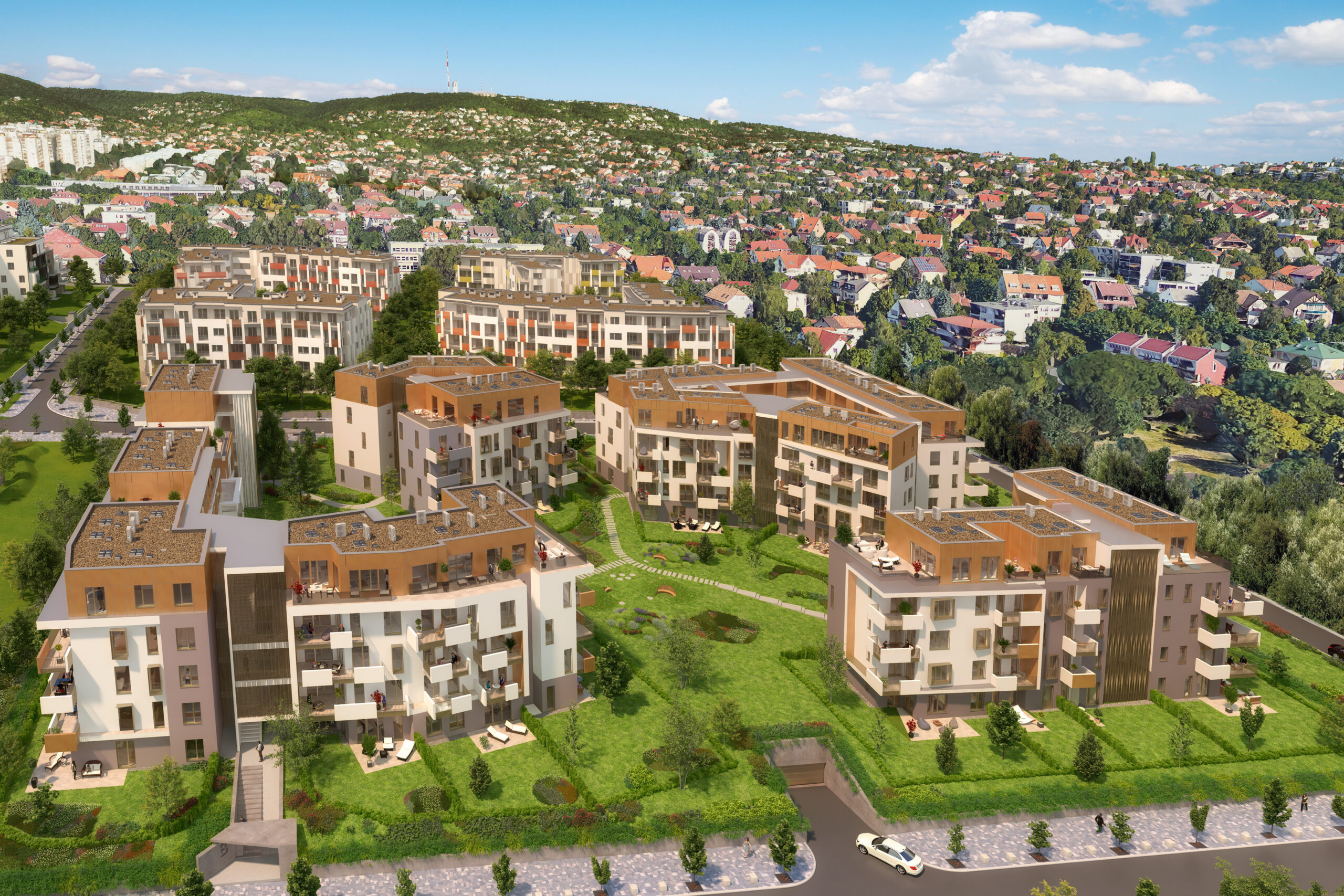
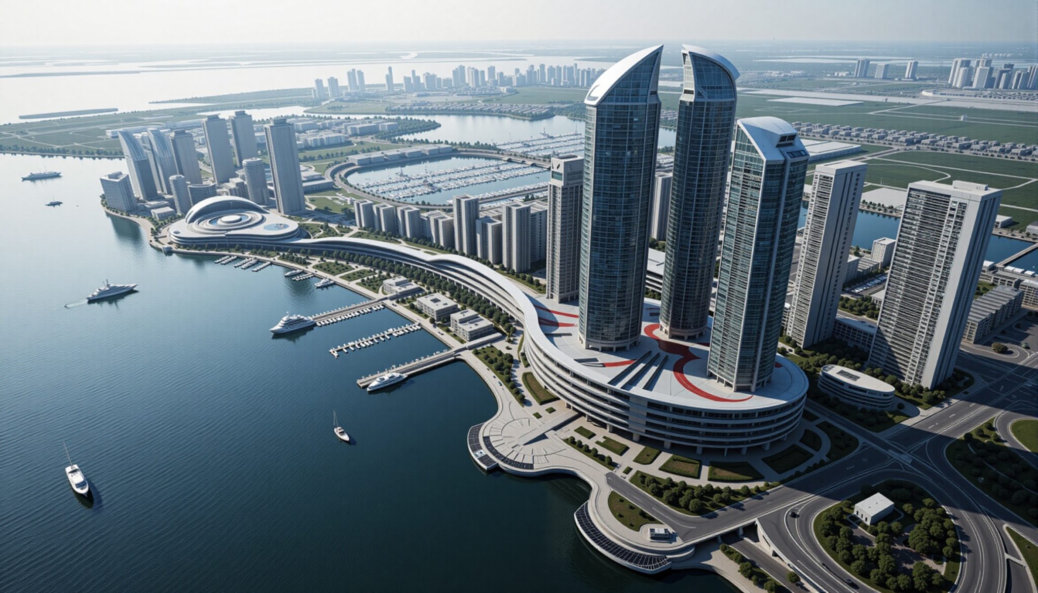
Aerial Integration combines actual aerial photographs with 3D rendered elements to create visualizations of architectural projects in their real environment. This technique helps architects and developers show how new buildings will fit into existing neighborhoods.
Technical approach: Hybrid
Complexity: 2 - Intermediate
cost: €€
Related projects:

Show your building in the real world

From Above

What is Aerial Integration?

We take real aerial photos and add your building to them. Simple as that. It shows exactly how your project will fit into the neighborhood when it’s done.

created by dji camera created by dji camera

Hotel Adria Pearl (drone photo integration)

Why Use Aerial Integration?

Regular renderings can look great, but they don’t show the surroundings right. Aerial integrations fix that problem:

  • People see your building in its actual location
  • Shows the true scale compared to nearby buildings
  • Helps with planning approvals
  • Makes marketing more realistic
  • Lets you spot potential issues early

Planning boards love these because they can see exactly how your building relates to everything around it.

How We Create Them

We have a few ways to get the base photos:

  1. Airplane photography – we work with experienced pilots who can capture the perfect angle
  2. Helicopter shots – great for lower altitudes and precise positioning
  3. Drone photos – perfect for smaller sites or specific angles
  4. Google Earth – for initial studies in areas they cover in 3D

Once we have the base image, we:

  • Create a 3D model of your building
  • Match the exact perspective of the photo
  • Align the sunlight direction
  • Blend the shadows and reflections
  • Adjust the colors to match the photo’s conditions

The result looks natural because we’re careful about these details.

legi-2a legi-2
legi-4a legi-4
legi-3a legi-3

Bruesa Római (in aerial photos)

When to Use Aerial Integration

This works best when:

  • You need to show context and surroundings
  • Your project will change the neighborhood
  • You’re presenting to planning boards
  • Marketing to investors or buyers
  • Working on larger developments
07a 07
06a 06
05a 05
04a 04
03a 03
02a 02
01a 01

Agora Budapest (Google Earth integration)

What You Get

We deliver:

  • High-resolution images ready for any use
  • Multiple angles if needed
  • Before/after comparisons
  • Annotations if you want them
  • Files ready for print or web
Camera_LEGI_3266_B_verzioa Camera_LEGI_3266_B_verzio

Millenium City Center (aerial photo)

What We Need From You

To create good integrations, we need:

  • Your building’s 3D model
  • Site plans showing exact location
  • Height information
  • Material details
  • Any landscape plans

Getting Started

Want to see your building from above? Let’s talk about what you need:

  • Location details
  • Project timeline
  • How you’ll use the images
  • Any specific angles you need

We’ll help you figure out the best approach.

Need lower angles too? Check out our Drone Photography or Photo Integration services.

sasad6_v02_nappal_madar_002_016a sasad6_v02_nappal_madar_002_016

Sasadliget 6 (Google Earth integration)