Drone Photography
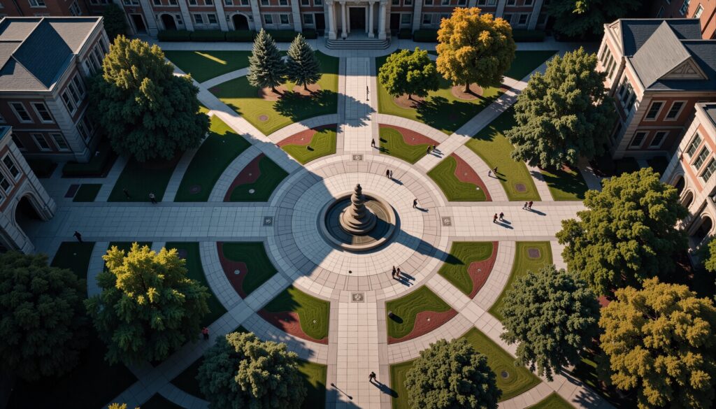
Lower-altitude still images captured by unmanned aerial vehicles (drones) offering more detailed views of specific sites or buildings. Drone photography provides unique perspectives and access to hard-to-reach areas.
360 Renderings
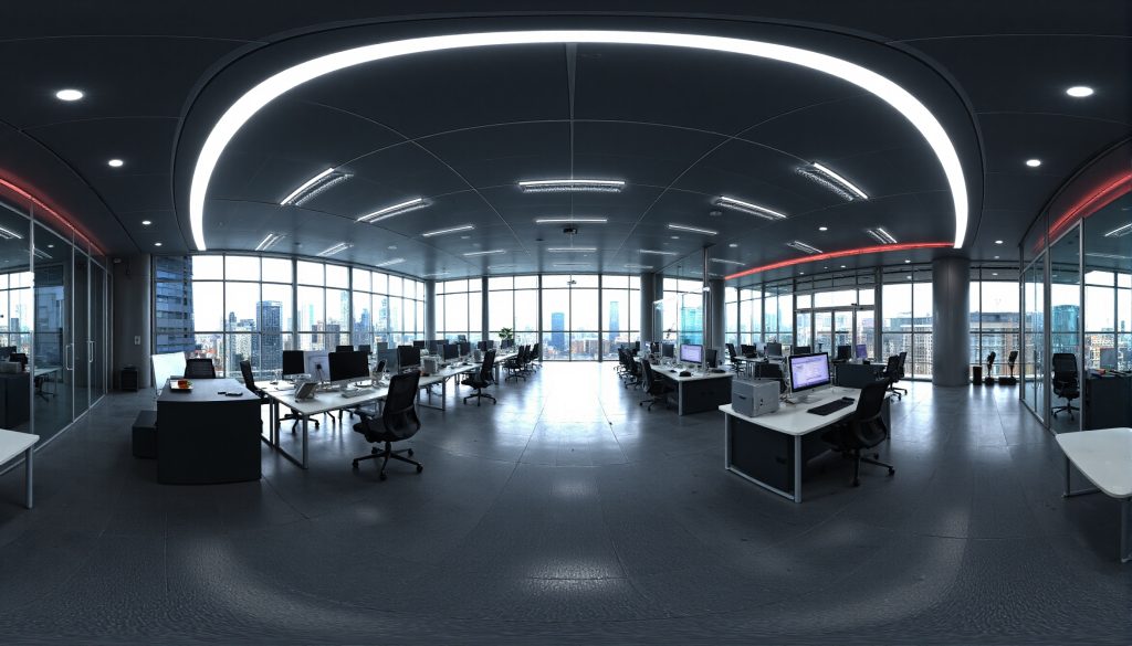
Computer-generated 360-degree panoramic images of architectural or design concepts. These renderings offer a complete view of proposed spaces or structures from a single vantage point.
Aerial Photography
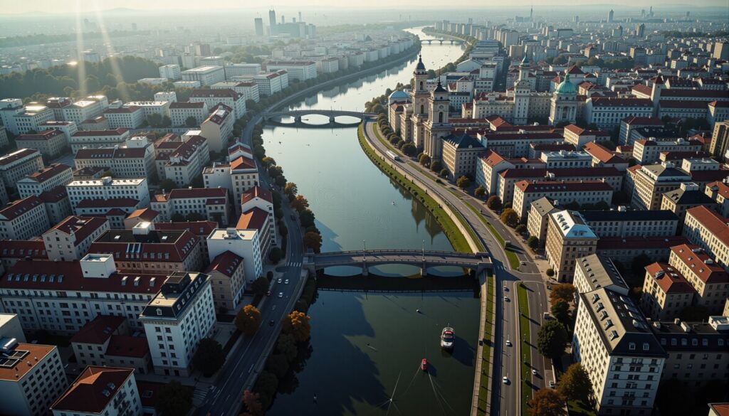
High-altitude photographs typically taken from aircraft providing a broad overview of large areas. These images offer unique perspectives on landscapes urban environments and architectural projects.