It’s photos taken from airplanes or helicopters, showing large areas from above. They give you a view you just can’t get from the ground.
Hotel Spirit
Looking down changes everything. You see patterns, connections, and context that you miss from the ground:
We work with experienced pilots who know how to get the right angles:
In Hungary, we have our own trusted pilots. For projects elsewhere, we find reliable local partners with the right experience.
Europa Center in construction
This works perfectly when you need to:
Near Balaton
We deliver:
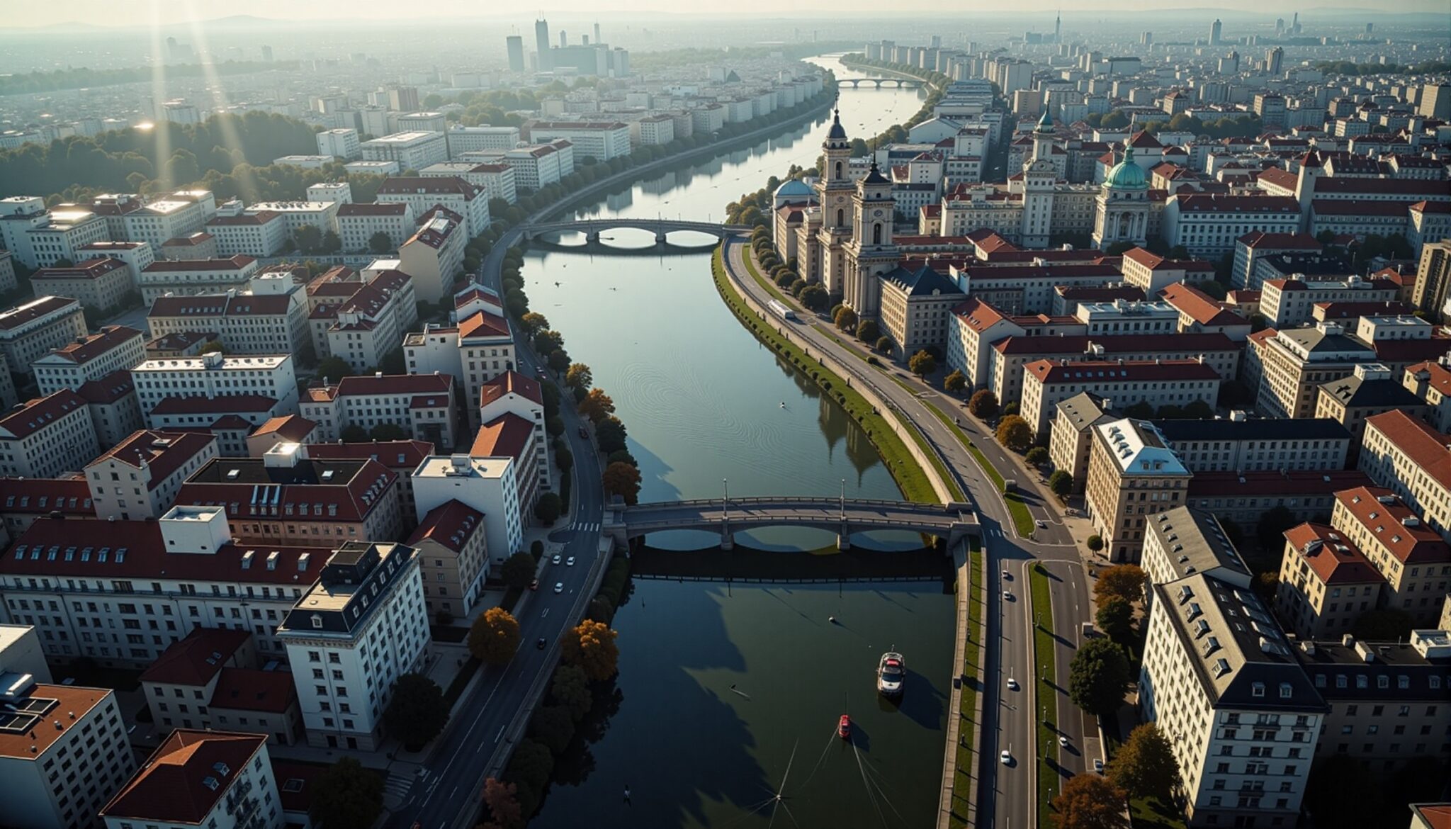
Budapest
To plan a successful shoot:
Ready to see your project from above? Here’s what we need to know:
We’ll help you plan the perfect shoot.
Want to see how your unbuilt project would look from the air? Check out our Aerial Integration service.
Documenting the construction of Korda Studios